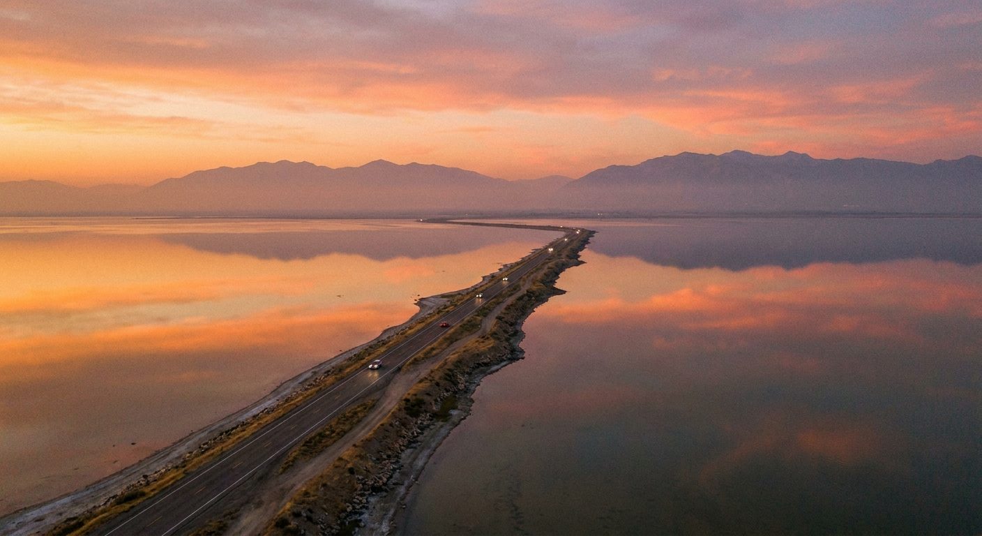
Antelope Island Causeway
Best during golden hour
The long, narrow road provides a unique perspective of the lake surface extending toward the horizon on both sides.

The Great Salt Lake stretches across 1,700 square miles of northwestern Utah, yet only a handful of vantage points grant unobstructed views of its open water, island silhouettes, and the Wasatch Range rising to the east. Antelope Island State Park—connected by a seven-mile causeway—offers the most accessible and dramatic overlooks, placing visitors at lake level and on ridgeline summits within minutes of the trailhead.
Quick answer
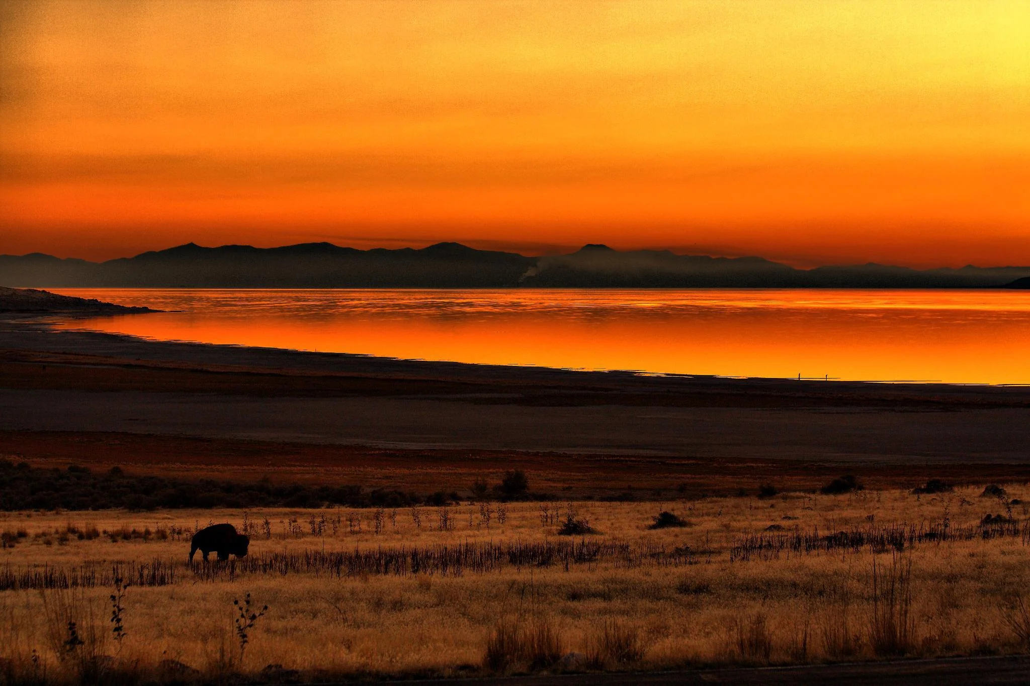
Antelope Island State Park delivers the best view of the Great Salt Lake, with Buffalo Point on the island's northern tip offering 360-degree vistas across open water, the Promontory Range, and resident bison herds. Sunset Cove on the eastern shore provides lake-level access where water meets sand, ideal for reflections and wading. Both sites sit within the park's 28,000 acres and require the causeway toll for vehicle entry.
Antelope Island remains the only Great Salt Lake landmass accessible by paved road, a geographic advantage that transforms a distant salt flat into a walk-up panorama. The causeway crosses open water for seven miles before delivering visitors to trails, beaches, and ridgeline overlooks that frame the lake from every compass point. Buffalo Point anchors the island's northern coast, where a short trail climbs to a rocky outcrop suspended above the lake's northwestern arm. The vantage reveals bison grazing on salt-tolerant grasses, the Promontory Mountains cutting the horizon, and—on clear days—the lake's division into distinct color zones as salinity shifts from bay to bay. Photographers arrive before sunset to capture the Wasatch Range backlit against open water, a composition unavailable from the valley floor. Sunset Cove and White Rock Bay occupy the island's eastern shore, where shallow water laps against broad sand and gravel beaches. These lake-level sites trade elevation for intimacy: visitors wade into brine dense enough to float without effort, observe brine flies clustered along the waterline, and watch pelicans skim the surface during spring and fall migrations. The cove's western exposure makes it the park's signature sunset destination, with light reflecting off calm water when wind subsides. The island's interior summit—Frary Peak—rises to 6,596 feet and offers the lake's most commanding view, though the trail climbs 2,000 vertical feet over three miles. Hikers who reach the cairn at the top look down on the entire island, the causeeway threading back to shore, and the lake curving beyond sight in both directions. The ridgeline geography reveals what shoreline overlooks cannot: the lake's true scale, its islands scattered like puzzle pieces, and the basin that holds it all in place.
“Buffalo Point suspends visitors above the lake's northwestern arm, where bison, open water, and the Promontory Range converge in a single frame.”
Best during golden hour
The long, narrow road provides a unique perspective of the lake surface extending toward the horizon on both sides.
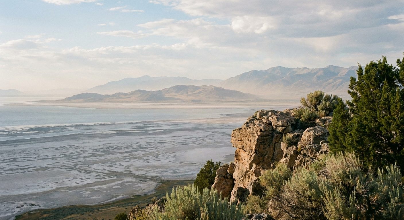
Late afternoon or sunset
This elevated trail offers a panoramic vista of the northern lake and surrounding islands with high vantage points.
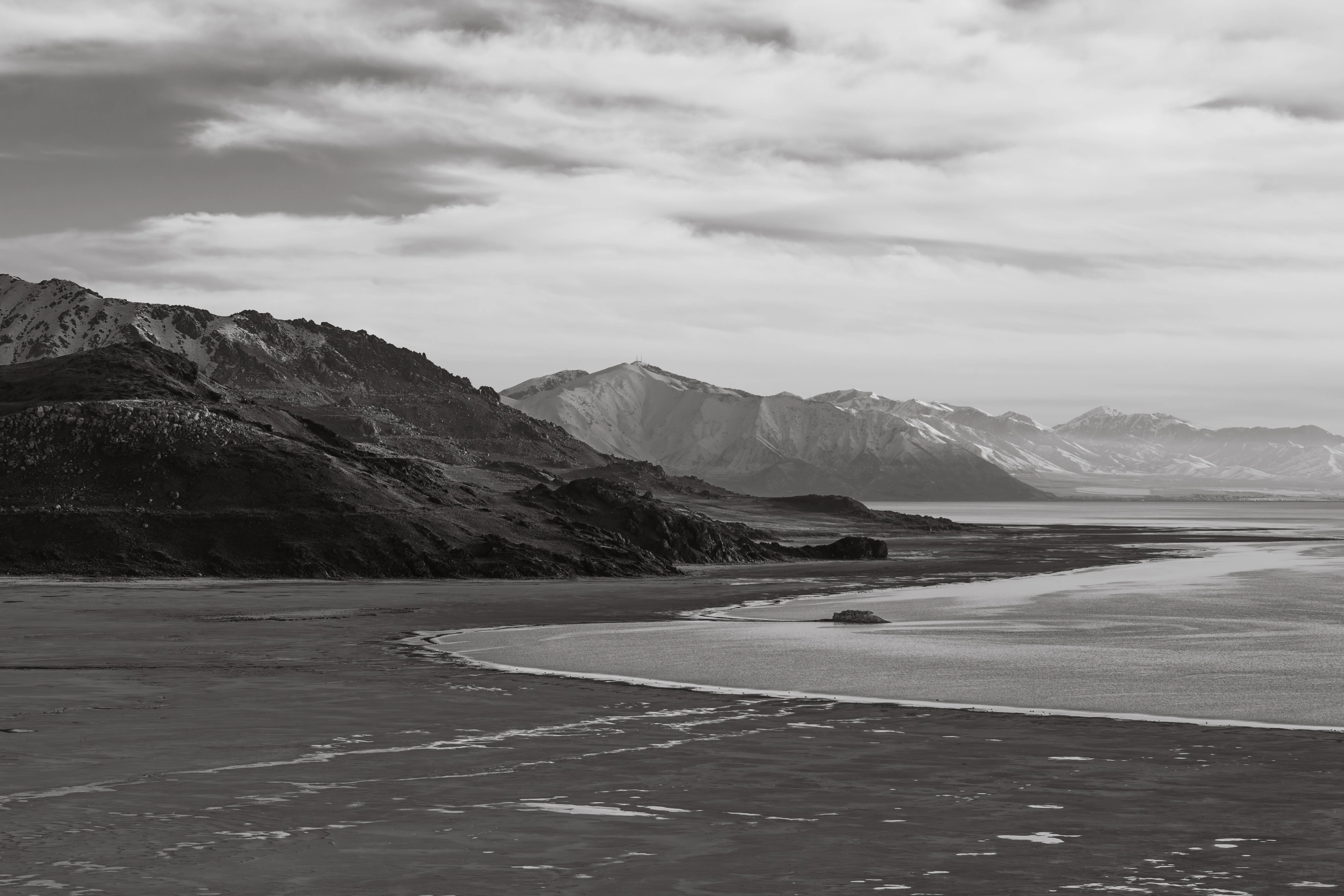
Early morning light
Low-angle shots here capture the shoreline and water reflections against the distant rugged hills.
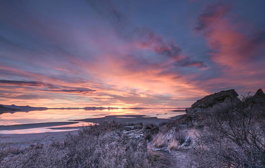
Sunset for long exposure shots
The sandy expanse allows for foreground elements like driftwood and rocks to frame the water and distant mountains.
The best arrival window is 06:00–21:30, which provides the optimal lighting for photography and wildlife viewing, particularly during sunset hours. Planning your visit within this timeframe ensures access to the landscape when light conditions are most favorable for observing the lake and local fauna.
Mild, 50°F to 70°F
Migratory bird populations are at their peak during these months.
Hot, 80°F to 95°F
Longer daylight hours allow for extended exploration of the shoreline.
Cool, 45°F to 70°F
Lower temperatures offer comfortable conditions for hiking and photography.
—
Early arrival provides the quietest experience for wildlife observation and landscape photography.
Verdict: For the most consistent results, visit on a weekday morning during April or October to balance favorable temperatures with reduced visitor numbers.
Antelope Island State Park provides the primary public access to the Great Salt Lake. The park is reached by traveling west through Syracuse to the causeway.
I-15 to Antelope Drive (Exit 332), then west to 4528 West 1700 South
Private transport via I-15 and Antelope Drive to 4528 West 1700 South
Follow Antelope Drive west until it transitions into the seven-mile causeway leading to the park entrance. Plan your visit within the 06:00–21:30 arrival window to ensure access to the primary viewpoints.
Antelope Island State Park is open daily to provide access to views of the Great Salt Lake.
Everything you need to know about where is the best view of the great salt lake
Antelope Island State Park is widely considered the location where is the best view of the great salt lake. Visitors can access elevated trails and shoreline paths that provide expansive vistas across the water. Many travelers find that this area offers the most diverse perspective of the saline landscape. Identifying where is the best view of the great salt lake depends on your preference for shoreline proximity or panoramic elevation. The park entrance fee is 15 USD per vehicle, which covers up to eight people. This standard fee provides access to the diverse terrain and amenities within the park boundaries. The park is open daily from 06:00 to 22:00. This schedule allows for consistent access to the primary scenic overlooks throughout the week. For those wondering where is the best view of the great salt lake during sunset, the recommended arrival window is 06:00 to 21:30. This timeframe ensures optimal lighting conditions for capturing the landscape and local wildlife. Yes, this location is suitable for families looking to explore the natural environment together. You can enjoy walking paths and birdwatching spots that are accessible to various age groups. The official address is 4528 West 1700 South, Syracuse, UT 84075. Using this address ensures you arrive at the designated park entrance and causeway. Yes, the 15 USD vehicle fee includes the Davis County causeway fee. This simplifies entry for visitors traveling to the park by car.